No higher resolution available.
Crop_spraying_near_St_Mary_Bourne_-_geograph.org.uk_-_392462.jpg (640 × 480 pixels, file size: 143 KB, MIME type: image/jpeg)
| This is a file from the Wikimedia Commons. Information from its description page there is shown below. Commons is a freely licensed media file repository. You can help. |
Summary
| Description |
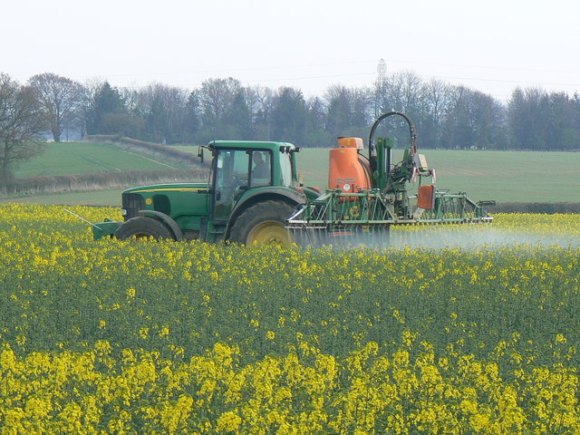
English: Crop spraying near St Mary Bourne. I know not whether the spray is herbicide, pesticide or fertiliser. The crop is rapeseed. Coming into full flower soon, the air was filled with its rather rank scent. The pylons in the background are about a kilometre south of the viewpoint. |
||
| Date | |||
| Source | From geograph.org.uk | ||
| Author | Brian Robert Marshall | ||
| Permission (Reusing this file) |
This file is licensed under the Creative Commons Attribution-Share Alike 2.0 Generic license. Attribution: Brian Robert Marshall
|
||
| Attribution (required by the license) | Brian Robert Marshall / Crop spraying near St Mary Bourne / | ||

| Camera location | | View this and other nearby images on: OpenStreetMap |
|---|
_heading:135.00&language=en)
| Object location | | View this and other nearby images on: OpenStreetMap |
|---|
_heading:135.00&language=en)
File history
Click on a date/time to view the file as it appeared at that time.
| Date/Time | Thumbnail | Dimensions | User | Comment | |
|---|---|---|---|---|---|
| current | 17:24, 3 February 2011 | | 640 × 480 (143 KB) | GeographBot | == {{int:filedesc}} == {{Information |description={{en|1=Crop spraying near St Mary Bourne I know not whether the spray is herbicide, pesticide or fertiliser. The crop is rapeseed. Coming into full flower soon, the air was filled with its rather rank scen |
File usage
The following pages on the English Wikipedia use this file (pages on other projects are not listed):
Global file usage
The following other wikis use this file:
- Usage on bn.wikipedia.org
- Usage on ckb.wikipedia.org
- Usage on cs.wikipedia.org
- Usage on es.wikipedia.org
- Usage on fa.wikipedia.org
- Usage on fr.wikipedia.org
- Usage on id.wikipedia.org
- Usage on pt.wikipedia.org
- Usage on vi.wikipedia.org
- Usage on zh.wikipedia.org