Size of this preview: 521 × 599 pixels. Other resolutions: 209 × 240 pixels | 417 × 480 pixels | 890 × 1,024 pixels.
Original file (890 × 1,024 pixels, file size: 186 KB, MIME type: image/png)
| This is a file from the Wikimedia Commons. Information from its description page there is shown below. Commons is a freely licensed media file repository. You can help. |
Summary
| Description |
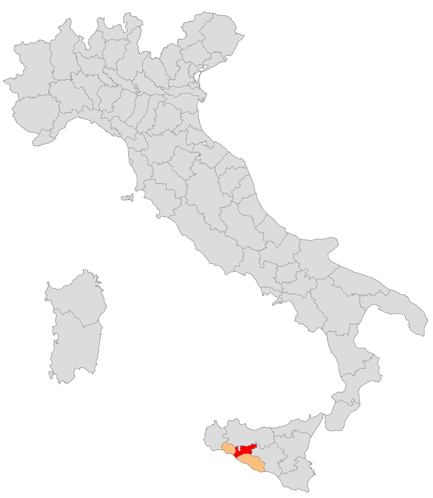
Italiano: Mappa del circondario di Bivona nella provincia di Girgenti (1859-1927) |
| Source | Own work |
| Author | Arbalete |
Licensing
| I, the copyright holder of this work, release this work into the public domain. This applies worldwide. In some countries this may not be legally possible; if so: I grant anyone the right to use this work for any purpose, without any conditions, unless such conditions are required by law. |
File history
Click on a date/time to view the file as it appeared at that time.
| Date/Time | Thumbnail | Dimensions | User | Comment | |
|---|---|---|---|---|---|
| current | 21:08, 8 December 2009 | | 890 × 1,024 (186 KB) | Arbalete | Modifica del colore |
| 17:22, 8 December 2009 |  | 890 × 1,024 (175 KB) | Arbalete | {{Information |Description={{it|1=Mappa del circondario di Bivona nella provincia di Girgenti (1859-1927)}} |Source={{own}} |Author=Friedrichstrasse |Date=8 dicembre 2009 |Permission= |other_versions= }} [[Category:Locator maps |
File usage
The following pages on the English Wikipedia use this file (pages on other projects are not listed):
Global file usage
The following other wikis use this file:
- Usage on it.wikipedia.org