
Size of this PNG preview of this SVG file: 668 × 600 pixels. Other resolutions: 267 × 240 pixels | 535 × 480 pixels | 856 × 768 pixels | 1,141 × 1,024 pixels | 2,281 × 2,048 pixels | 2,786 × 2,501 pixels.
Original file (SVG file, nominally 2,786 × 2,501 pixels, file size: 320 KB)
| This is a file from the Wikimedia Commons. Information from its description page there is shown below. Commons is a freely licensed media file repository. You can help. |
Summary
| Description |
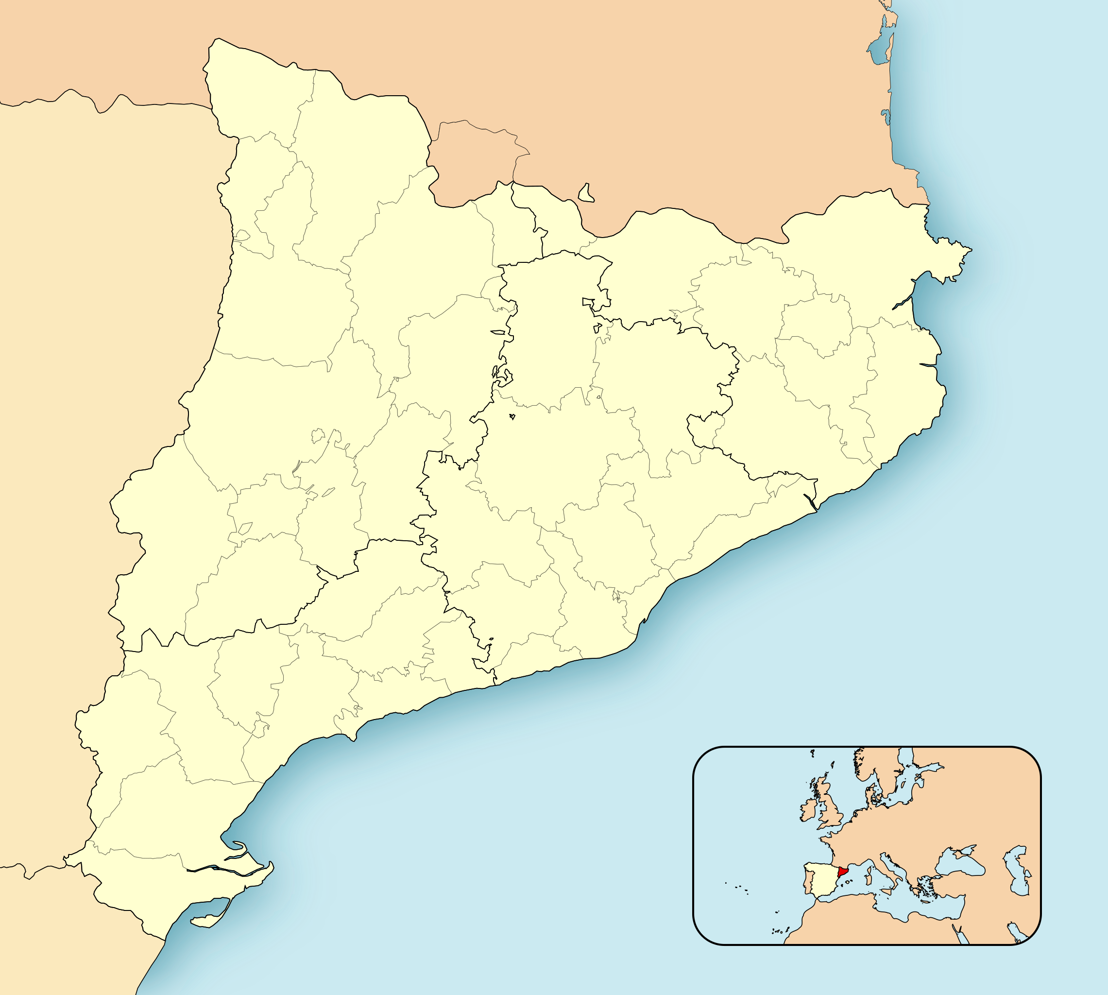
Català: Mapa de localització de Catalunya
Projecció equirrectangular, N/S estirada 130%. Límits geogràfics del mapa:
English: Location map of Catalonia
Equirectangular projection, N/S stretching 130 %. Geographic limits of the map:
Español: Mapa de localización de Cataluña
Proyección equirrectangular, N/S estirada 130 %. Límites geográficos del mapa:
|
||
| Date | |||
| Source | Own work | ||
| Author | HansenBCN | ||
| Permission (Reusing this file) |
|
||
| Other versions |
Derivative works of this file: |
||
| SVG development | This locator map was created with Inkscape.
|
File history
Click on a date/time to view the file as it appeared at that time.
| Date/Time | Thumbnail | Dimensions | User | Comment | |
|---|---|---|---|---|---|
| current | 12:30, 17 November 2021 | | 2,786 × 2,501 (320 KB) | Jmarchn | better framing |
| 09:34, 27 April 2008 |  | 3,300 × 2,500 (456 KB) | HansenBCN | Sombreado de agua descentrado y borde superior eliminado | |
| 14:38, 26 April 2008 |  | 3,300 × 2,500 (453 KB) | HansenBCN | Bordes | |
| 14:32, 26 April 2008 |  | 3,300 × 2,500 (453 KB) | HansenBCN | == Summary == {{Information |Description=Catalonia Location Map |Source=self-made |Date=26/april/2008 |Author= HansenBCN |Permission= |other_versions=[Image:CatalunyaLoc.png|50px] }} == Licensing == {{PD-self |
File usage
No pages on the English Wikipedia use this file (pages on other projects are not listed).
Global file usage
The following other wikis use this file:
- Usage on an.wikipedia.org
- Barcelona
- Leida
- Fulleda
- L'Ametlla de Mar
- Archivo d'a Corona d'Aragón
- Vielha e Mijaran
- Tortosa
- Horta de Sant Joan
- Puicerdán
- Tarragona
- Reus
- Chirona
- Sant Sadurní d'Anoia
- Vilafranca del Penedès
- Igualada
- Sabadell
- Berga
- Manresa
- Sant Feliu de Llobregat
- Vilanova i la Geltrú
- Mataró
- Terrassa
- Granollers
- Tàrrega
- Solsona
- Cervera (Leida)
- Mollerussa
- Sort
- Tremp
- Balaguer
- El Pont de Suert
- Vic
- Llessui
- Seu d'Urchel
- Les Borges Blanques
- Valls
- La Bisbal d'Empordà
- El Vendrell
- Montblanc
- Olot
- Amposta
- Agullana
- Banyolas
- Camós
- Cornellà del Terri
- Crespià
- Esponellà
- Fontcoberta
- Palol de Revardit
- Porqueres
View more global usage of this file.