Size of this preview: 694 × 600 pixels. Other resolutions: 278 × 240 pixels | 556 × 480 pixels | 1,000 × 864 pixels.
Original file (1,000 × 864 pixels, file size: 41 KB, MIME type: image/png)
| This is a file from the Wikimedia Commons. Information from its description page there is shown below. Commons is a freely licensed media file repository. You can help. |
Summary
| Description |
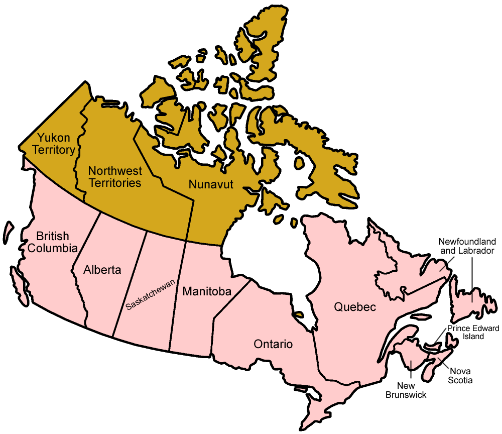
Map of the provinces of Canada in English. No, it's not nearly as good as the existing stuff here, but I didn't want any gaps in my suite of maps, so here it is. Maybe someone will find it useful! Made by User:Golbez. |
| Date | 1 January 2006 (original upload date) |
| Source | No machine-readable source provided. Own work assumed (based on copyright claims). |
| Author | No machine-readable author provided. Golbez assumed (based on copyright claims). |
Licensing
I, the copyright holder of this work, hereby publish it under the following licenses:

|
Permission is granted to copy, distribute and/or modify this document under the terms of the GNU Free Documentation License, Version 1.2 or any later version published by the Free Software Foundation; with no Invariant Sections, no Front-Cover Texts, and no Back-Cover Texts. A copy of the license is included in the section entitled GNU Free Documentation License. |
| This file is licensed under the Creative Commons Attribution-Share Alike 3.0 Unported license. | ||
| ||
| This licensing tag was added to this file as part of the GFDL licensing update. |
This file is licensed under the Creative Commons Attribution 2.5 Generic license.
- You are free:
- to share – to copy, distribute and transmit the work
- to remix – to adapt the work
- Under the following conditions:
- attribution – You must give appropriate credit, provide a link to the license, and indicate if changes were made. You may do so in any reasonable manner, but not in any way that suggests the licensor endorses you or your use.
You may select the license of your choice.
File history
Click on a date/time to view the file as it appeared at that time.
| Date/Time | Thumbnail | Dimensions | User | Comment | |
|---|---|---|---|---|---|
| current | 02:25, 18 February 2006 | | 1,000 × 864 (41 KB) | Golbez | better version |
| 02:36, 1 February 2006 |  | 1,000 × 864 (57 KB) | Golbez | mixed MB and AB | |
| 22:58, 1 January 2006 |  | 1,000 × 864 (41 KB) | Golbez | Map of the provinces of Canada in English. No, it's not nearly as good as the existing stuff here, but I didn't want any gaps in my suite of maps, so here it is. Maybe someone will find it useful! Made by User:Golbez. [[Category |
File usage
No pages on the English Wikipedia use this file (pages on other projects are not listed).
Global file usage
The following other wikis use this file:
- Usage on sv.wikipedia.org