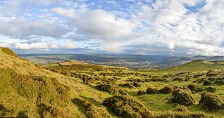
Size of this preview: 800 × 421 pixels. Other resolutions: 320 × 168 pixels | 640 × 337 pixels | 1,024 × 539 pixels | 1,280 × 673 pixels | 3,000 × 1,578 pixels.
Original file (3,000 × 1,578 pixels, file size: 1.42 MB, MIME type: image/jpeg)
| This is a file from the Wikimedia Commons. Information from its description page there is shown below. Commons is a freely licensed media file repository. You can help. |
Summary
| Description |
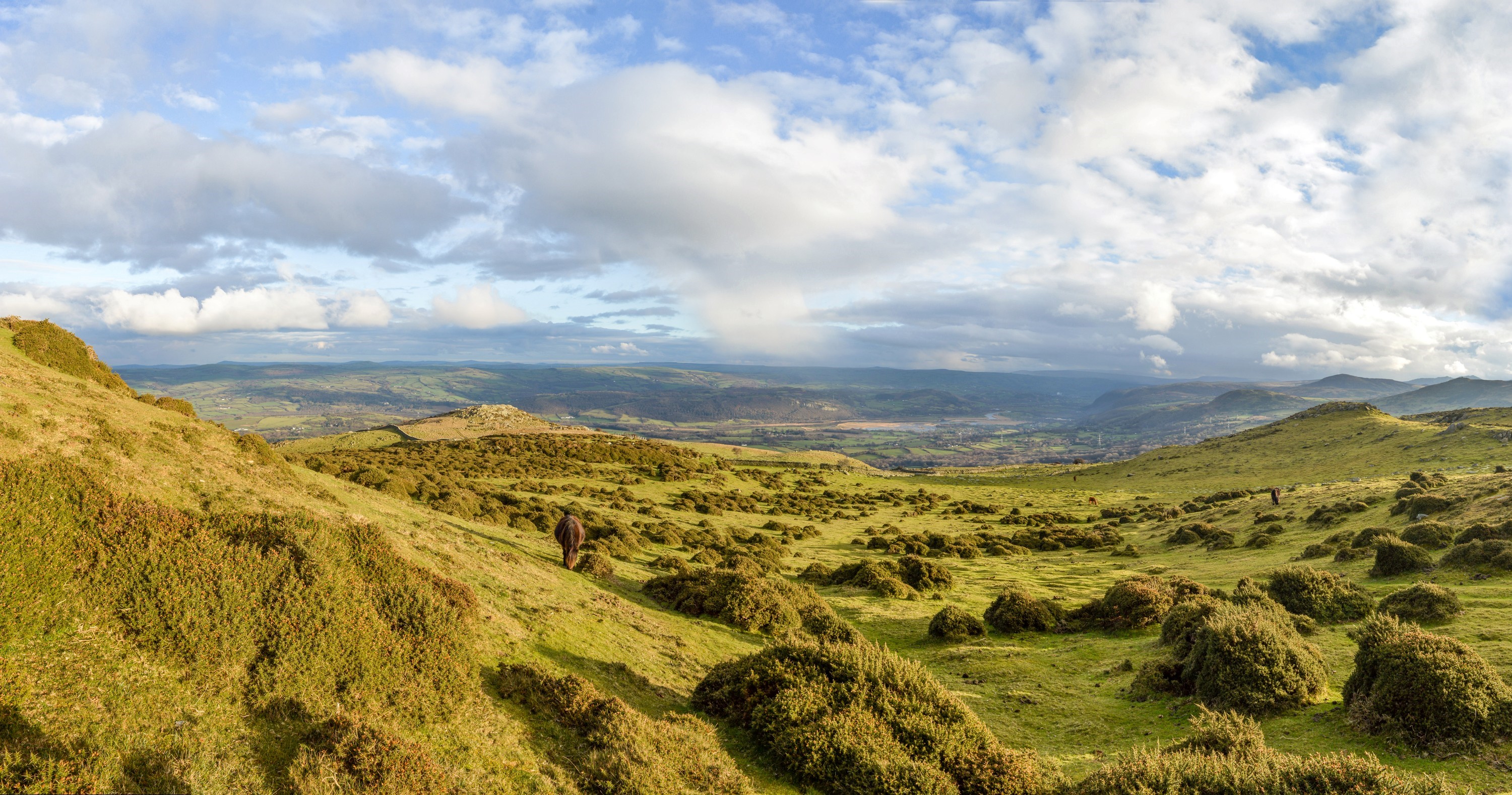
English: Caer Bach hillfort, in its situation above the Conwy valley. |
| Date | |
| Source | Own work |
| Author | Telenarn |
| Camera location | | View this and other nearby images on: OpenStreetMap |
|---|
The actual hillfort is barely visible in this photo, being covered in thick vegetation. It's location is middle left, above the grazing pony and below the rocky outcrop of Craig Celynin.
Licensing
I, the copyright holder of this work, hereby publish it under the following license:
This file is licensed under the Creative Commons Attribution-Share Alike 4.0 International license.
- You are free:
- to share – to copy, distribute and transmit the work
- to remix – to adapt the work
- Under the following conditions:
- attribution – You must give appropriate credit, provide a link to the license, and indicate if changes were made. You may do so in any reasonable manner, but not in any way that suggests the licensor endorses you or your use.
- share alike – If you remix, transform, or build upon the material, you must distribute your contributions under the same or compatible license as the original.
File history
Click on a date/time to view the file as it appeared at that time.
| Date/Time | Thumbnail | Dimensions | User | Comment | |
|---|---|---|---|---|---|
| current | 22:00, 1 October 2017 | | 3,000 × 1,578 (1.42 MB) | Telenarn | User created page with UploadWizard |
File usage
The following pages on the English Wikipedia use this file (pages on other projects are not listed):