
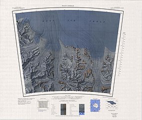
Size of this preview: 711 × 599 pixels. Other resolutions: 285 × 240 pixels | 570 × 480 pixels | 911 × 768 pixels | 1,215 × 1,024 pixels | 2,430 × 2,048 pixels | 3,844 × 3,240 pixels.
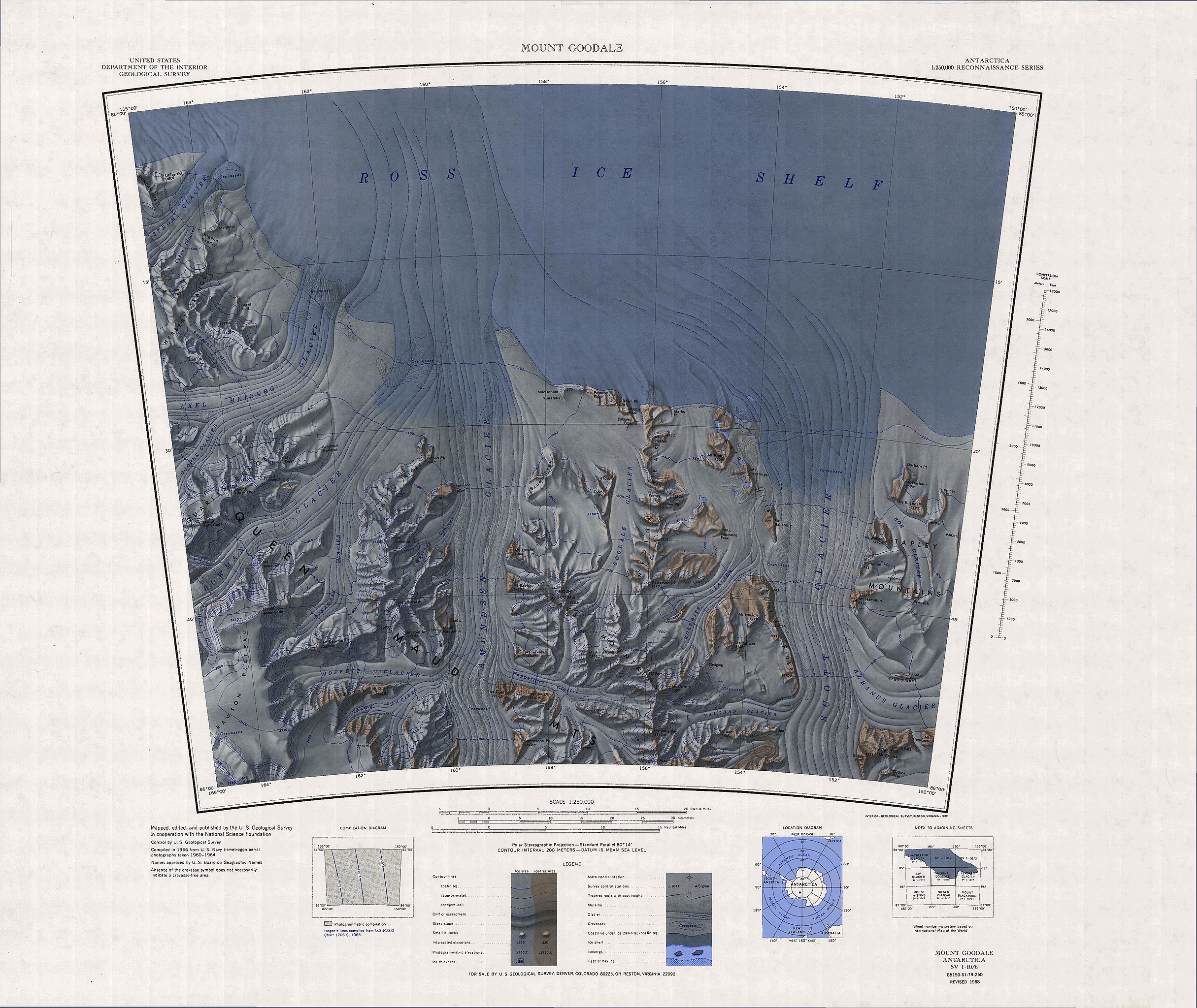
Original file (3,844 × 3,240 pixels, file size: 1.65 MB, MIME type: image/jpeg)
| This is a file from the Wikimedia Commons. Information from its description page there is shown below. Commons is a freely licensed media file repository. You can help. |
Summary
| Description |
English: Topographic Reconnaissance map sheet 1:250,000 of southernmost portion of Ross Ice Shelf, Antarctica |
| Date | |
| Source | http://usarc.usgs.gov/drg_dload.shtml |
| Author | USGS |
Licensing
| This work is from the Library of Congress. According to the library, there are no known copyright restrictions on the use of this work. |  |
File history
Click on a date/time to view the file as it appeared at that time.
| Date/Time | Thumbnail | Dimensions | User | Comment | |
|---|---|---|---|---|---|
| current | 15:24, 19 July 2016 | | 3,844 × 3,240 (1.65 MB) | Ratzer | {{Information |Description ={{en|1=Topographic Reconnaissance map sheet 1:250,000 of southernmost portion of Ross Ice Shelf, Antarctica}} |Source =http://usarc.usgs.gov/drg_dload.shtml |Author =USGS |Date =1966 |Permission... |
File usage
The following pages on the English Wikipedia use this file (pages on other projects are not listed):
Global file usage
The following other wikis use this file:
- Usage on ar.wikipedia.org
- Usage on be.wikipedia.org
- Usage on bg.wikipedia.org
- Usage on ceb.wikipedia.org
- Usage on de.wikipedia.org
- Axel-Heiberg-Gletscher
- Herbert Range
- Watson Escarpment
- Scott-Gletscher (Marie-Byrd-Land)
- Tapley Mountains
- Amundsen-Gletscher
- MacDonald-Nunatakker
- O’Brien Peak
- Medina Peaks
- Goodale-Gletscher
- Mount Goodale
- Hays Mountains
- Mount Bushnell
- Rawson-Plateau
- Quarles Range
- Strøm-Gletscher
- Mount Betty
- Amundsen-Küste
- Karo Hills
- Mount Belecz
- Tate-Gletscher
- Thomas Spur
- Mount Dayton
- Mount Dean
- Durham Point
- Mount Durham
- Paradise Ridge
- Pincer Point
- Schobert-Nunatak
- Usage on fr.wikipedia.org
- Usage on he.wikipedia.org
- Usage on it.wikipedia.org
- Usage on lld.wikipedia.org
- Usage on nds.wikipedia.org
View more global usage of this file.