
Size of this PNG preview of this SVG file: 800 × 582 pixels. Other resolutions: 320 × 233 pixels | 640 × 465 pixels | 1,024 × 745 pixels | 1,280 × 931 pixels | 2,560 × 1,862 pixels.
Original file (SVG file, nominally 825 × 600 pixels, file size: 1.36 MB)
| This is a file from the Wikimedia Commons. Information from its description page there is shown below. Commons is a freely licensed media file repository. You can help. |
Summary
| Description |
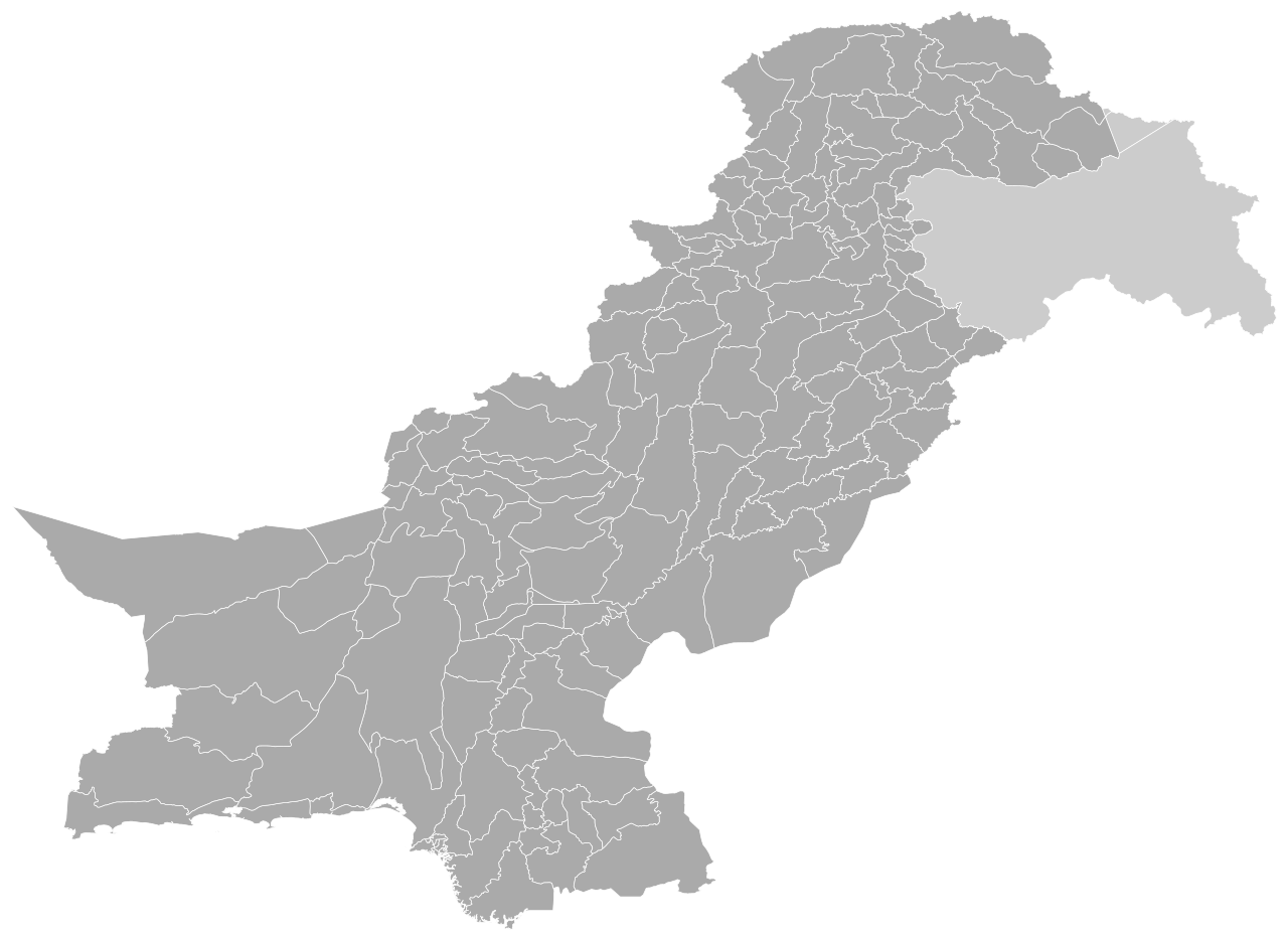
English: This is a blank SVG map of Pakistan's districts, which total 160 in number (including Islamabad Capital Territory).
|
| Date | |
| Source | Own work |
| Author | Abbasi786786 |
Licensing
I, the copyright holder of this work, hereby publish it under the following license:
This file is licensed under the Creative Commons Attribution-Share Alike 4.0 International license.
- You are free:
- to share – to copy, distribute and transmit the work
- to remix – to adapt the work
- Under the following conditions:
- attribution – You must give appropriate credit, provide a link to the license, and indicate if changes were made. You may do so in any reasonable manner, but not in any way that suggests the licensor endorses you or your use.
- share alike – If you remix, transform, or build upon the material, you must distribute your contributions under the same or compatible license as the original.
File history
Click on a date/time to view the file as it appeared at that time.
| Date/Time | Thumbnail | Dimensions | User | Comment | |
|---|---|---|---|---|---|
| current | 21:37, 1 July 2021 | | 825 × 600 (1.36 MB) | Abbasi786786 | Added Chaman District in Quetta Division, Balochistan |
| 13:48, 26 June 2021 |  | 825 × 600 (1.35 MB) | Abbasi786786 | Added Darel, Tangir, Gupis-Yasin, and Rondu Districts in Gilgit-Baltistan | |
| 16:13, 5 June 2021 |  | 825 × 600 (1.35 MB) | Abbasi786786 | Fixed properties and IDs of Mardan District and Swabi District in Khyber Pakhtunkhwa province | |
| 17:30, 3 June 2021 |  | 825 × 600 (1.35 MB) | Abbasi786786 | Qalat District Title Property Fixed | |
| 17:29, 3 June 2021 |  | 825 × 600 (1.35 MB) | Abbasi786786 | Uploaded own work with UploadWizard |
File usage
The following pages on the English Wikipedia use this file (pages on other projects are not listed):
Global file usage
The following other wikis use this file:
- Usage on id.wikipedia.org
- Usage on ne.wikipedia.org
- Usage on sd.wikipedia.org
- Usage on ur.wikipedia.org