Size of this preview: 800 × 208 pixels. Other resolutions: 320 × 83 pixels | 640 × 166 pixels | 1,024 × 266 pixels | 3,341 × 868 pixels.
Original file (3,341 × 868 pixels, file size: 878 KB, MIME type: image/jpeg)
| This is a file from the Wikimedia Commons. Information from its description page there is shown below. Commons is a freely licensed media file repository. You can help. |
Summary
| Description |
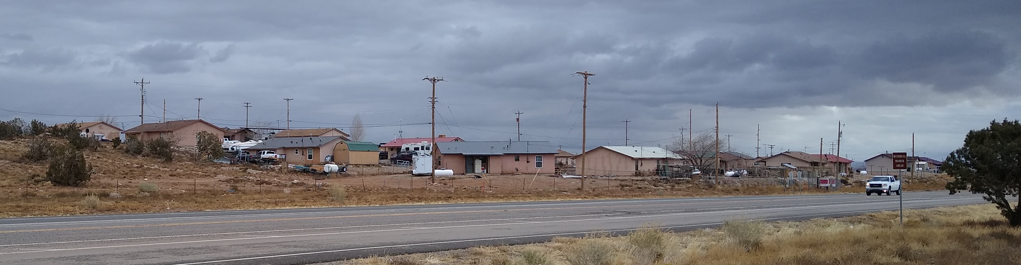
English: Beclabito, New Mexico |
| Date | |
| Source | Own work |
| Author | Mx. Granger |
| Camera location | | View this and other nearby images on: OpenStreetMap |
|---|
Licensing
I, the copyright holder of this work, hereby publish it under the following license:
| This file is made available under the Creative Commons CC0 1.0 Universal Public Domain Dedication. | |
| The person who associated a work with this deed has dedicated the work to the public domain by waiving all of their rights to the work worldwide under copyright law, including all related and neighboring rights, to the extent allowed by law. You can copy, modify, distribute and perform the work, even for commercial purposes, all without asking permission.
|
File history
Click on a date/time to view the file as it appeared at that time.
| Date/Time | Thumbnail | Dimensions | User | Comment | |
|---|---|---|---|---|---|
| current | 21:07, 15 December 2021 | 3,341 × 868 (878 KB) | Mx. Granger | Cropped 18 % horizontally, 72 % vertically using CropTool with lossless mode. | |
| 21:06, 15 December 2021 |  | 4,096 × 3,072 (4.01 MB) | Mx. Granger | Uploaded own work with UploadWizard |
File usage
The following pages on the English Wikipedia use this file (pages on other projects are not listed):