Size of this preview: 790 × 600 pixels. Other resolutions: 316 × 240 pixels | 633 × 480 pixels | 1,012 × 768 pixels | 1,278 × 970 pixels.
Original file (1,278 × 970 pixels, file size: 605 KB, MIME type: image/jpeg)
| This is a file from the Wikimedia Commons. Information from its description page there is shown below. Commons is a freely licensed media file repository. You can help. |
Summary
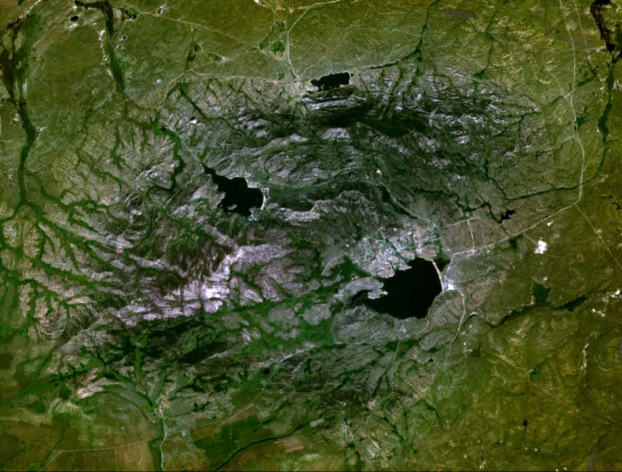
NLT Landsat 7 (Visible colour) image of Bayanaul (Kazakhstan), rendered by NASA World Wind
| Camera location | | View this and other nearby images on: OpenStreetMap |
|---|
Licensing
| This image is in the public domain because it is a screenshot from NASA’s globe software World Wind using a public domain layer, such as Blue Marble, MODIS, Landsat, SRTM, USGS or GLOBE.
|
 |
File history
Click on a date/time to view the file as it appeared at that time.
| Date/Time | Thumbnail | Dimensions | User | Comment | |
|---|---|---|---|---|---|
| current | 07:49, 22 July 2007 | | 1,278 × 970 (605 KB) | Ekamaloff | NLT Landsat 7 (Visible colour) image of Bayanaul (Kazakhstan), rendered by NASA World Wind == License == {{PD-WorldWind}} |
File usage
The following pages on the English Wikipedia use this file (pages on other projects are not listed):
Global file usage
The following other wikis use this file:
- Usage on ru.wikipedia.org
- Usage on uk.wikipedia.org