
Size of this preview: 799 × 599 pixels. Other resolutions: 320 × 240 pixels | 640 × 480 pixels | 1,024 × 768 pixels | 1,280 × 960 pixels | 2,560 × 1,920 pixels | 2,869 × 2,152 pixels.
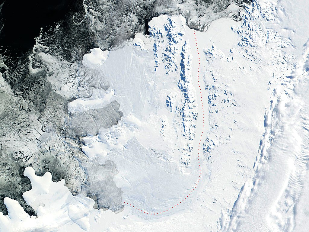
Original file (2,869 × 2,152 pixels, file size: 4.02 MB, MIME type: image/jpeg)
| This is a file from the Wikimedia Commons. Information from its description page there is shown below. Commons is a freely licensed media file repository. You can help. |
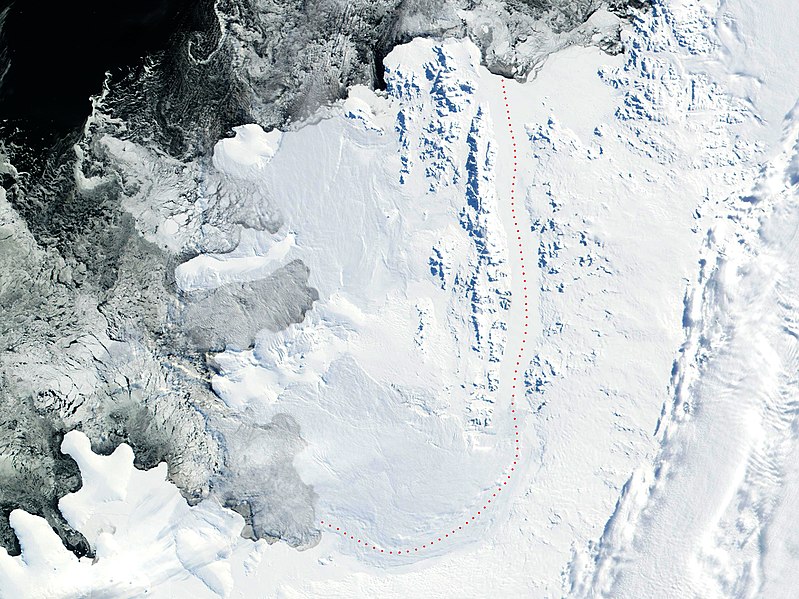
Source: 2002 NASA Visible Earth satellite image Bryan Coast, English Coast, Alexander Island, Fallieres Coast, and Bellingshausen Sea, Antarctica.
Fragment edited and published by Apcbg 13:29, 22 July 2006 (UTC).
| This file is in the public domain in the United States because it was solely created by NASA. NASA copyright policy states that "NASA material is not protected by copyright unless noted". (See Template:PD-USGov, NASA copyright policy page or JPL Image Use Policy.) | ||
 |
Warnings:
|
File history
Click on a date/time to view the file as it appeared at that time.
| Date/Time | Thumbnail | Dimensions | User | Comment | |
|---|---|---|---|---|---|
| current | 19:16, 30 May 2018 | | 2,869 × 2,152 (4.02 MB) | Apcbg | details |
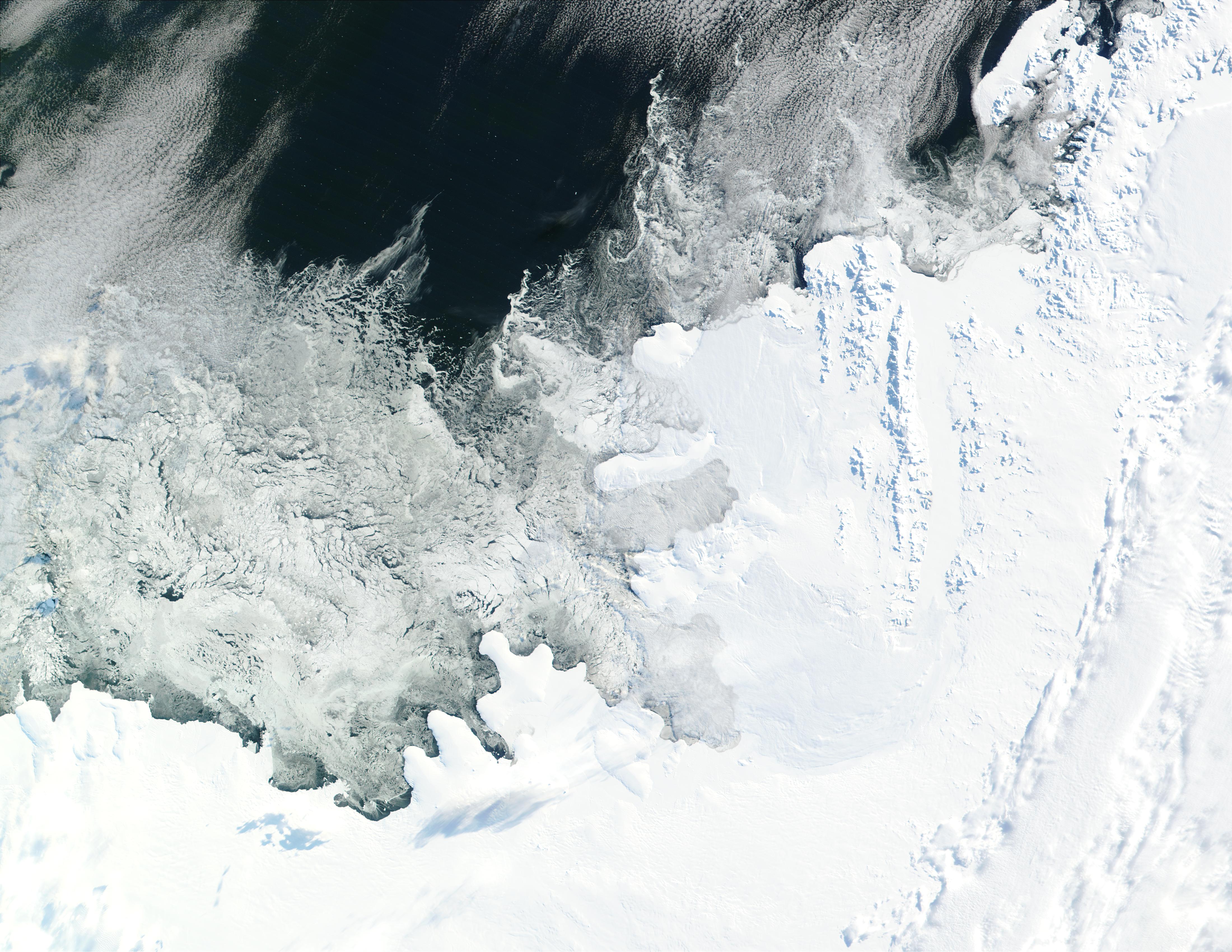
| 13:29, 22 July 2006 |  | 2,805 × 2,300 (4.23 MB) | Apcbg | 2002 NASA Visible Earth satellite image: Bryan Coast, English Coast, Alexander Island, Fallieres Coast, and Bellingshausen Sea, Antarctica. Fragment edited and published by ~~~~. {{nasa}} |
File usage
The following pages on the English Wikipedia use this file (pages on other projects are not listed):
- Ablation Point – Ganymede Heights Antarctic Specially Protected Area
- Aleksandrov Ridge
- Alexander Island
- Atanasov Ridge
- Balgari Nunatak
- Breze Peak
- Buneva Point
- Dimitrova Peak
- Farmakida Cove
- Foreman Glacier
- Galabov Ridge
- Galerius Peak
- Gazey Nunatak
- Goleminov Point
- Hadzhiev Glacier
- Herbst Nunatak
- Igralishte Peak
- Kamhi Point
- Kandidiana Ridge
- Kolokita Cove
- Kozhuh Peak
- Kutev Peak
- Lesnovo Hill
- Lyubimets Nunatak
- Manolov Glacier
- Moriseni Peak
- Mount Balkanska
- Mount Devol
- Mount Pontida
- Mozgovitsa Glacier
- Nebush Nunatak
- Nicolai Peak
- Oselna Glacier
- Paroriya Buttress
- Pimpirev Peak
- Pipkov Glacier
- Piyanets Ridge
- Pripor Nunatak
- Rachenitsa Nunatak
- Satovcha Peak
- Shaw Nunatak
- St. Theodosius Nunatak
- Stoltz Island
- Stryama Peak
- Tegra Nunatak
- Thompson Hill
- Tipits Knoll
- Umber Island
- Vaskidovich Ridge
- Vola Ridge
- Wubbold Glacier
- Zavoy Nunatak
Global file usage
The following other wikis use this file:
- Usage on af.wikipedia.org
- Usage on ar.wikipedia.org
- Usage on be-tarask.wikipedia.org
- Usage on be.wikipedia.org
- Usage on ca.wikipedia.org
- Usage on da.wikipedia.org
- Usage on de.wikipedia.org
- Usage on eo.wikipedia.org
- Usage on es.wikipedia.org
- Usage on fi.wikipedia.org
- Usage on fr.wikipedia.org
- Île Alexandre-Ier
- Utilisateur:Mandariine
- Plateforme de glace de George VI
- Liste des modelés de l'île Alexandre nommés d'après un compositeur
- Discussion:Liste des modelés de l'île Alexandre nommés d'après un compositeur
- Wikipédia:Statistiques des anecdotes de la page d'accueil/Visibilité des anecdotes (2018)
- Discussion:Liste des modelés de l'île Alexandre nommés d'après un compositeur/LSV 14967
- Wikipédia:Statistiques des anecdotes de la page d'accueil/Visibilité des anecdotes (2018)/2018 07
- Projet:Aide et accueil/Twitter/Tweets/archives/juillet 2018
- Wikipédia:Le saviez-vous ?/Archives/2018
- Usage on gl.wikipedia.org
- Usage on he.wikipedia.org
View more global usage of this file.