
Size of this preview: 800 × 459 pixels. Other resolutions: 320 × 184 pixels | 640 × 367 pixels | 1,024 × 588 pixels | 1,378 × 791 pixels.
Original file (1,378 × 791 pixels, file size: 37 KB, MIME type: image/png)
| This is a file from the Wikimedia Commons. Information from its description page there is shown below. Commons is a freely licensed media file repository. You can help. |
Summary
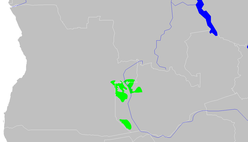
| Description | Western Zambezian grasslands ecoregion map |
| Date | |
| Source | Own work |
| Author | Altatoron |
Licensing
| I, the copyright holder of this work, release this work into the public domain. This applies worldwide. In some countries this may not be legally possible; if so: I grant anyone the right to use this work for any purpose, without any conditions, unless such conditions are required by law. |
File history
Click on a date/time to view the file as it appeared at that time.
| Date/Time | Thumbnail | Dimensions | User | Comment | |
|---|---|---|---|---|---|
| current | 11:16, 13 February 2008 | | 1,378 × 791 (37 KB) | Doreano~commonswiki | {{Information |Description=Western Zambezian grasslands ecoregion map |Source=self-made |Date=2008/2/13 |Author= Altatoron |Permission= |other_versions= }} Category:Biomes Category:Biogeography Category:Maps of Angola [[Cate |
File usage
The following pages on the English Wikipedia use this file (pages on other projects are not listed):
Global file usage
The following other wikis use this file:
- Usage on ca.wikipedia.org
- Usage on es.wikipedia.org
- Usage on fr.wikipedia.org
- Usage on it.wikipedia.org
- Usage on uk.wikipedia.org
- Usage on www.wikidata.org