
Size of this preview: 800 × 600 pixels. Other resolutions: 320 × 240 pixels | 640 × 480 pixels | 1,024 × 768 pixels | 1,280 × 960 pixels | 2,560 × 1,920 pixels | 4,608 × 3,456 pixels.
Original file (4,608 × 3,456 pixels, file size: 6.21 MB, MIME type: image/jpeg)
| This is a file from the Wikimedia Commons. Information from its description page there is shown below. Commons is a freely licensed media file repository. You can help. |
Summary
| Description |
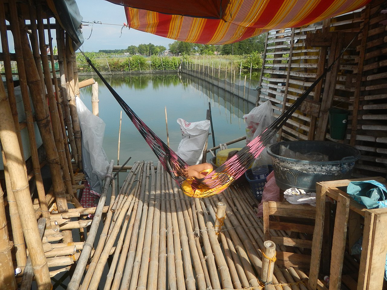
English: Binmaley – San Carlos Road Binmaley to Binmaley-Lingayen Road Biec, Binmaley, Pangasinan Manat Bridge Sitios and puroks I-Vii of Naguilayan, Binmaley, Pangasinan Binmaley-San Carlos Road (Binmaley) Ardea alba in water in fish ponds of Binmaley, Pangasinan Star Fuel Baloctot Bridge K0 218+042 Camaley Central School, Binmaley Camaley, Binmaley, Pangasinan Our Mother of Perpetual Help Chapel of Camaley, Binmaley San Roque Chaplaincy-Pastoral Station of Camaley, Binmaley Camaley National High School, Binmaley San Roque Chaplaincy of Camaley, Binmaley Established April 12, 2014 Category:Sitios and puroks of the Philippines Subdivisions of the Philippines List of barangays in Pangasinan, Barangays of Pangasinan, Barangays Biec, Binmaley, Pangasinan 16.0198, 120.2782 Manat, Binmaley, Pangasinan 16.0145, 120.2816 Naguilayan, Binmaley, Pangasinan 16.0057, 120.2957 Camaley, Binmaley, Pangasinan 15.9936, 120.3007 Balagan, Binmaley, Pangasinan 15.9825, 120.3055 Binmaley, Pangasinan along Pangasinan-Zambales road Daang Kalikasan (Nature's Highway) 60-kilometer Pangasinan-Zambales East-West Road Project from Mangatarem, Pangasinan side to Santa Cruz, Zambales from or along Urdaneta Junction-Dagupan-Lingayen Road MacArthur Highway or Manila North Road) surrounded by the Agno Valley of Agno River Philippine highway network (Note: Judge Florentino Floro, the owner, to repeat, Donor Florentino Floro of all these photos hereby donate gratuitously, freely and unconditionally Judge Floro all these photos to and for Wikimedia Commons, exclusively, for public use of the public domain, and again without any condition whatsoever). |
| Date | |
| Source | Own work |
| Author | Judgefloro |
| Camera location | | View this and other nearby images on: OpenStreetMap |
|---|
Manat, Binmaley, Pangasinan 16.0145, 120.2816
Licensing
I, the copyright holder of this work, hereby publish it under the following license:
| This file is made available under the Creative Commons CC0 1.0 Universal Public Domain Dedication. | |
| The person who associated a work with this deed has dedicated the work to the public domain by waiving all of their rights to the work worldwide under copyright law, including all related and neighboring rights, to the extent allowed by law. You can copy, modify, distribute and perform the work, even for commercial purposes, all without asking permission.
|
File history
Click on a date/time to view the file as it appeared at that time.
| Date/Time | Thumbnail | Dimensions | User | Comment | |
|---|---|---|---|---|---|
| current | 11:44, 3 December 2019 | | 4,608 × 3,456 (6.21 MB) | Judgefloro | User created page with UploadWizard |
File usage
The following pages on the English Wikipedia use this file (pages on other projects are not listed):