Size of this preview: 577 × 599 pixels. Other resolutions: 231 × 240 pixels | 462 × 480 pixels | 739 × 768 pixels | 986 × 1,024 pixels | 2,345 × 2,436 pixels.
Original file (2,345 × 2,436 pixels, file size: 347 KB, MIME type: image/jpeg)
| This is a file from the Wikimedia Commons. Information from its description page there is shown below. Commons is a freely licensed media file repository. You can help. |
Summary
| Description |
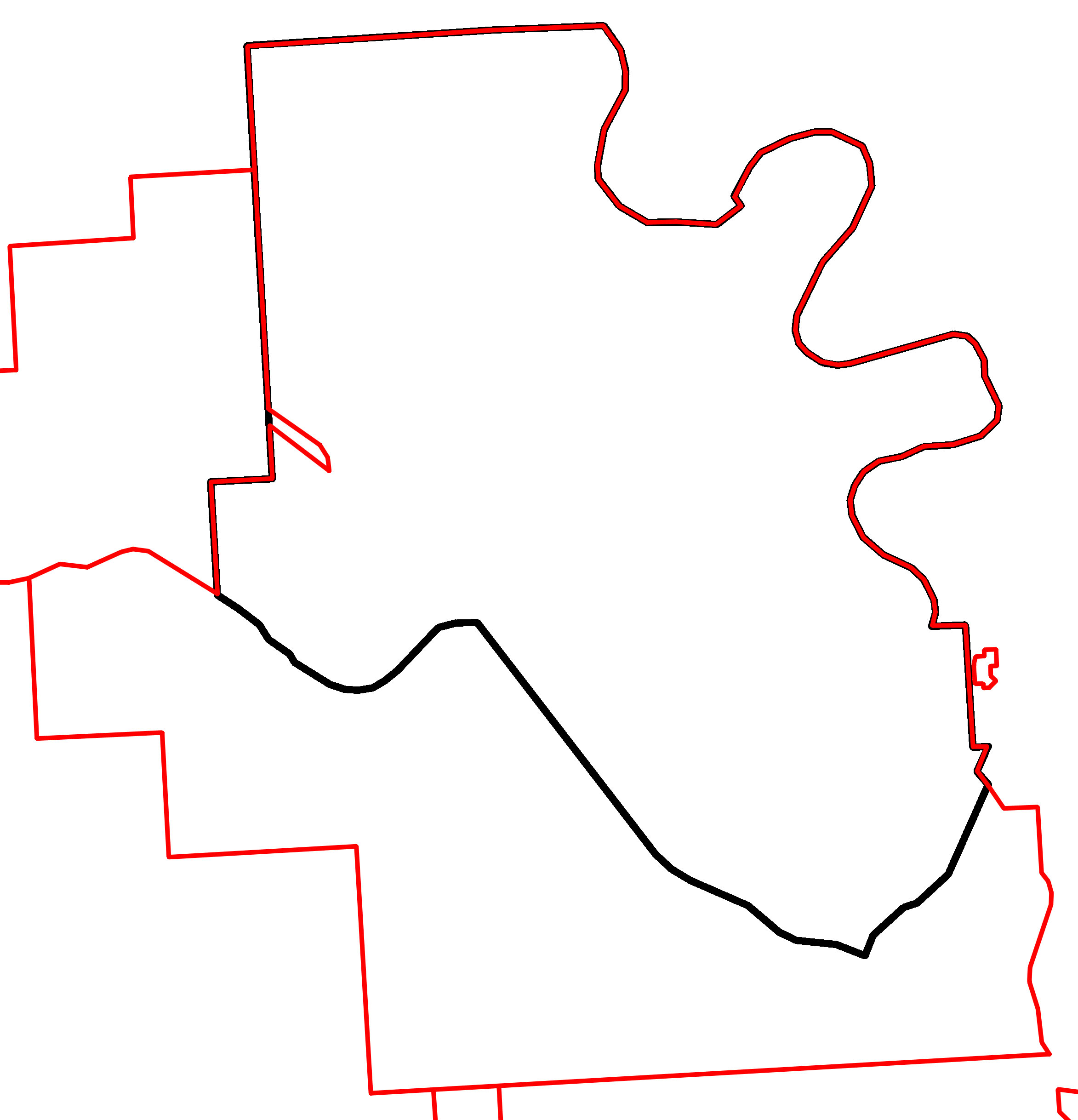
English: A map of Alberta provincial electoral districts, effective 2010, in black, overlaid with the boundaries of the Cypress County, Hamlet of Desert Blume, Hamlet of Dunmore, City of Medicine Hat, Town of Redcliff, and Hamlet of Veinerville in red. |
| Date | |
| Source | |
| Author | Own work |
Licensing
| I, the copyright holder of this work, release this work into the public domain. This applies worldwide. In some countries this may not be legally possible; if so: I grant anyone the right to use this work for any purpose, without any conditions, unless such conditions are required by law. |
File history
Click on a date/time to view the file as it appeared at that time.
| Date/Time | Thumbnail | Dimensions | User | Comment | |
|---|---|---|---|---|---|
| current | 04:20, 21 February 2012 | | 2,345 × 2,436 (347 KB) | 117Avenue | {{Information |Description ={{en|1=A map of Alberta provincial electoral districts, effective 2010, in black, overlaid with the boundaries of the Cypress County, [ |
File usage
The following pages on the English Wikipedia use this file (pages on other projects are not listed):