.jpg)
.jpg&action=edit&redlink=1)
Size of this preview: 800 × 534 pixels. Other resolutions: 320 × 213 pixels | 640 × 427 pixels | 1,024 × 683 pixels | 1,280 × 854 pixels | 1,600 × 1,067 pixels.
Original file (1,600 × 1,067 pixels, file size: 875 KB, MIME type: image/jpeg)
| This is a file from the Wikimedia Commons. Information from its description page there is shown below. Commons is a freely licensed media file repository. You can help. |
.jpg)
Summary
| Description |
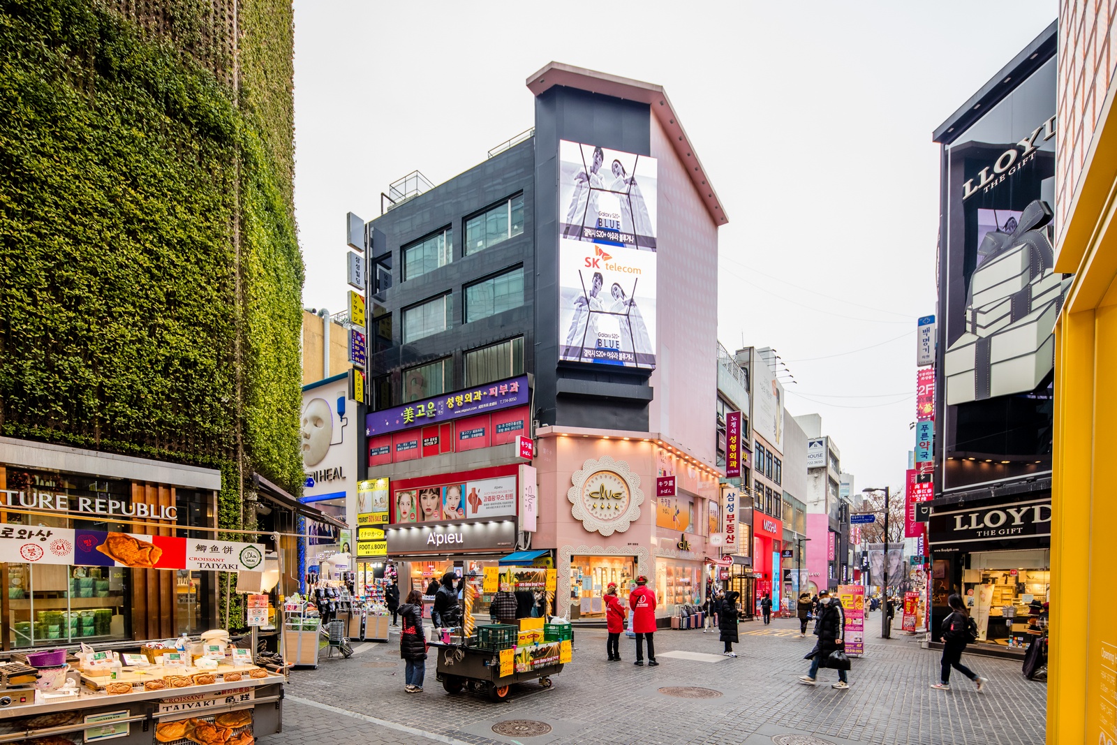
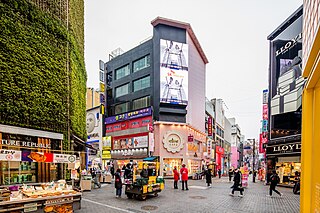
한국어: 명동8길 거리 (2020년 3월) |
| Date | |
| Source | 사진으로 본 서울 |
| Author | 서울연구데이터서비스 |
| Camera location | | View this and other nearby images on: OpenStreetMap |
|---|
.jpg¶ms=037.561567_N_0126.985028_E_globe:Earth_type:camera_heading:338.00&language=en)
Licensing

|
This file is licensed under the Korea Open Government License Type I: Attribution.
|
|
File history
Click on a date/time to view the file as it appeared at that time.
| Date/Time | Thumbnail | Dimensions | User | Comment | |
|---|---|---|---|---|---|
| current | 05:44, 25 May 2023 | | 1,600 × 1,067 (875 KB) | 밥풀떼기 | Uploaded a work by 서울연구데이터서비스 from [https://data.si.re.kr/node/64069 사진으로 본 서울] with UploadWizard |
File usage
The following pages on the English Wikipedia use this file (pages on other projects are not listed):
Global file usage
The following other wikis use this file:
- Usage on ko.wikipedia.org
- Usage on tl.wikipedia.org
- Usage on vi.wikipedia.org
- Usage on zh.wikipedia.org
.jpg)